Why Should We Still Use Physical Maps and Compasses in the Modern Age?
While digital technology, smartphones, and GPS devices make our lives easier, the limitations of these devices quickly become apparent in the challenging conditions of nature. Battery depletion, signal loss, screen freezes due to cold weather, or electronic malfunctions can leave you defenseless in an unmarked terrain. A physical map and a quality compass do not require batteries, do not need signal strength, and continue to work in all weather conditions as long as they are properly maintained. The skill to use these traditional tools is not just a backup plan; it is also a fundamental survival discipline that enhances your ability to read nature and connect with the terrain. Being able to chart your own course and know exactly where you are is the key to freedom and safety in nature.
How to Accurately Read the Legend of a Topographic Map?
Topographic maps are a three-dimensional projection of the terrain, not just lines on paper. The first place to look when you pick up the map is the explanatory section on the edge of the map, known as the legend. Here, you will find the scale of the map, the interval of contour lines (isohyps), and the meanings of the symbols. For example, on a map with a scale of 1/25,000, every 1 centimeter on the map corresponds to 250 meters in reality. The year of the map's printing and the angle of magnetic declination are also critically important; because the magnetic field on Earth is constantly in motion. Navigating without understanding this technical data can lead to significant deviations and missing your target. Reading a map is like learning a language; the legend is the vocabulary of that language.
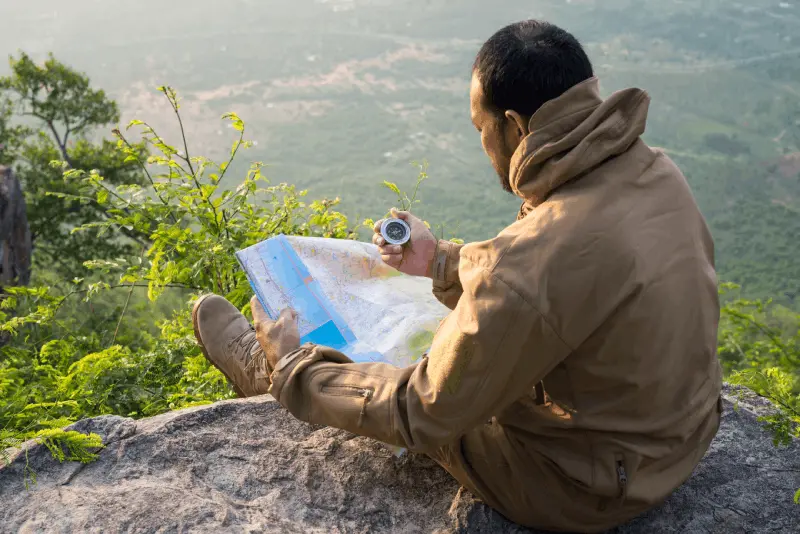
What is the Function of the Rotating Capsule on a Compass?
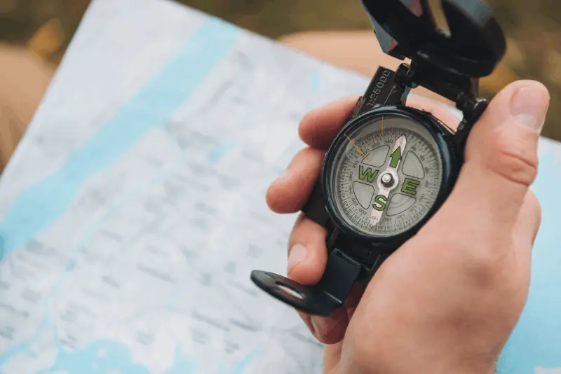
A compass is not just an arrow pointing north; it is a precise calculation tool that works with angles. The rotating capsule on the compass, also known as the "degree ring," represents angles from 0 to 360. The primary function of this capsule is to fix an angle (bearing) taken from the map onto the compass and to ensure that you proceed while maintaining that angle in the terrain. The "north arrow" or "alignment arrow" inside the capsule is used to align the map's north with the compass needle. If you do not know how to use the rotating capsule correctly, you can only see general directions, but it becomes impossible to reach a specific target point, such as a distant rock outcrop or a hidden water source, accurately.
How Does the Difference Between Magnetic North and True North Affect Navigation?
There are two main north points on Earth: Geographic (True) North and Magnetic North. Maps are drawn according to geographic north, while the compass needle points to magnetic north. The angular difference between these two is called "declination" or magnetic deviation. This difference varies depending on your location and time. If you do not account for a 10-degree deviation, you will deviate approximately 175 meters from your target for every kilometer you travel. In long-distance journeys, this margin of error can accumulate, leading you completely astray into a wrong valley or a dangerous cliff edge. Before starting navigation, you must learn the current declination angle of your map and calibrate your compass accordingly or add/subtract this difference in your calculations.
What Methods Are Used to Orient a Map to the Terrain?
Map orientation is the process of aligning the north on the paper with the north in the terrain. The simplest method is to place the compass on the edge of the map and rotate the map until the compass needle is parallel to the north lines on the map. Another method is "visual orientation"; if you can recognize prominent hills, riverbeds, or roads in your surroundings, you can rotate the map to match these landforms. An un-oriented map can lead to mental confusion; it may cause you to think that the mountain you need to see is on your left. For a correct starting point, when you place the map in front of you, you must ensure that the direction you are looking at matches exactly with what is represented on the map. This is the cornerstone of navigation.
How Do We Estimate the Slope of the Terrain Using Contour Lines?
Contour lines are imaginary lines that connect points at the same elevation above sea level. The proximity or distance between these lines directly indicates how steep the terrain is. If the lines are very close together, it indicates a steep slope or cliff; if the distance between the lines is widening, the terrain is flattening out. The "V" shape of contour lines indicates valleys or ridges. If the pointed end of the V indicates a high elevation, it is a valley; if it indicates a low elevation, it is a ridge. Being able to read these details ensures that you understand the difficulty level of the route you will be taking and use your energy efficiently. If you do not want to suddenly encounter a canyon on a seemingly flat route, you must learn the language of contour lines.
How is Taking a Bearing and Following That Angle in the Terrain Implemented?
Taking a bearing is determining the angle between your current location and the target you want to reach. You place the edge of the compass on the map between your current position and your target. Then, you rotate the compass capsule until the lines inside are parallel to the north-south lines of the map. By holding the compass in your hand and turning around, when you align the compass needle with the north reading in the capsule (the red end), the direction arrow on the compass shows you the exact direction you need to go. This technique is especially crucial in wooded areas where visibility is low or in foggy weather. Even if you cannot see your target directly, this mathematical angle will guide you to the correct point.
Reverse Bearing
How to Avoid Getting Lost with the Reverse Bearing Method?
A reverse bearing is an angle of 180 degrees that is exactly opposite to the direction you are heading. If you have strayed from a point and want to return or want to verify your location, you would use this method. Mathematically, if the angle you have taken is less than 180, you add 180; if it is greater than 180, you subtract 180. However, in modern mirror compasses, you can also see the reverse bearing line by placing the black (south) end of the needle on the north arrow. This method allows you to retreat to a safe point when you realize you have made a mistake. Additionally, when you draw your line on the map, you can confirm whether you are on that line by taking a reverse bearing from a prominent peak left behind.
How to Find Your Location on the Map with the Triangulation Technique?
If you have a map and a compass but do not know exactly where you are, the "triangulation" method is your savior. For this, you should choose at least two, preferably three, prominent landmarks you can recognize in the field (a mountain peak, a tower, a lake edge). You take a bearing to each point with the compass and transfer these angles as lines onto the map. The point where these lines intersect on the map is your exact location at that moment. The three lines may not intersect at a single point; the center of the small triangle formed (the error triangle) is your location. This technique provides the most scientific and reliable answer to the question "Where am I?" and is the most powerful tool to prevent panic when lost.
Why is the Aiming Off Strategy Important?
Aiming off is a technique of deliberately directing slightly to the right or left of a target (for example, a bridge or a trail junction) instead of going directly to it. If you are looking for a small cabin on the riverbank and you go directly to it but cannot see the cabin when you arrive, you cannot know which side of the river the cabin is on (upstream or downstream). However, if you deliberately aim 200 meters to the right, you will know that the cabin is definitely on your left when you reach the river. This strategy eliminates uncertainty in navigation and minimizes the risk of overshooting the target. It is a safety method frequently used by professional navigators, especially in night hikes or foggy terrains.
How Does the Handrailing Technique Simplify Navigation?
Constantly looking at the compass while moving in nature can be tiring and slow. The "handrailing" technique involves following a prominent and long feature that runs parallel to your route. A river, a ridge line, a valley floor, a road, or a power line can be your "handrail." You proceed by keeping this line on your right or left until you reach your destination. This method reduces the need for constant angle checks and helps you roughly maintain your direction. What is important is that the line you are following is clearly visible on the map and does not lead you into a dangerous area (like a cliff). It is a practical method that makes navigation more intuitive and fluid.
How to Determine Control Points and Attack Points?
Breaking a complex navigation route into smaller pieces increases the success rate. "Control points" are prominent places where you will check yourself when you reach them on the route (for example, a trail junction or a large rock). An "attack point" is the last prominent point that is very close to your final destination and is very easy to find. It may be difficult to find your main target (like a small cave), but it is easy to find a huge solitary pine tree (attack point) 100 meters away from it. You first reach the attack point, then from there you "attack" your main target with precise bearings. This tactical approach is the most effective way to find small targets in large terrains.
How to Estimate Distance with Pacing?
Knowing how far you have traveled in the field for a distance measured on the map helps you understand when you need to stop. "Pacing" is a method of counting a "pair of steps" every two steps (every time your left foot touches the ground). You should know in advance how many pairs of steps it takes to cover 100 meters on flat ground (for example, during training). This number is usually between 60-70. However, remember; steps shorten when going uphill, become shorter when tired, and change with a heavy backpack. You can use a small "pacer bead" (step beads) that you attach to your backpack to keep track of your distance. If you know you need to go 500 meters and you are measuring this with your steps, you eliminate the risk of passing the target unnoticed.
What Should Be Considered When Using a Compass for Night Navigation?
Depth perception is lost at night, and landforms look completely different. In this case, your trust in the compass must be 100%. The needles and important markings of modern compasses are usually phosphorescent (tritium or luminescent). You should use the "short leap" method while moving at night. You should select the most distant visible object (a tree, a rock) that your compass can illuminate in the direction it shows and go there to check again. Also, during night hikes, never forget that the compass needle can be affected by metal flashlights, batteries in headlamps, or smartwatches and may deviate. In moments when visibility is close to zero, the compass is your only reliable guide.
What Tactics Are Applied to Maintain a Straight Line in Wooded Areas?
In dense forests where visibility is limited, walking in a straight line is nearly impossible; people unconsciously curve towards the side of their dominant foot. To prevent this, the "three-point rule" is applied. You progress by bringing a tree you left behind, a tree at your current location, and the tree you want to go to in front of you onto the same line. This is a kind of "going forward by looking back" method. Additionally, you can use the compass to ensure you stay on track.
By holding the compass upright and moving it to your viewing angle, you should make corrections every time you deviate from your line. Forest navigation requires patience; making a directional correction every 10-20 meters is much better than getting exhausted by walking in the wrong direction for hours.
How Do Bad Weather Conditions Force Compass Reading?
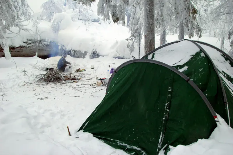
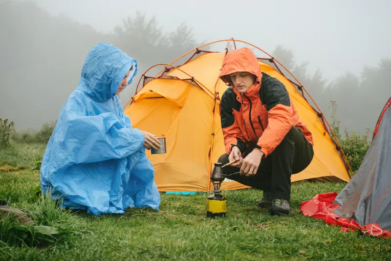
Heavy rain, snowstorms, or extreme winds can physically make the use of maps and compasses very difficult. Wet paper maps can tear, so you must keep your map in a transparent, waterproof cover. In very low temperatures, the liquid inside the compass can freeze or create an air bubble that prevents the needle from moving. In such cases, you should try to keep the compass warm with your body heat. Additionally, the effect of the wind blowing away the map is a real nightmare for many navigators; you should always secure your map with a string to your body or backpack. When nature challenges you, the durability of your equipment and your composure are your greatest defenses.
What Metal and Electronic Items Affect the Compass?
The compass needle is sensitive to the Earth's magnetic field but is much more easily affected by local magnetic sources. This situation is called "deviation." The metal frame of your backpack, your knife, your mobile phone, your radio, and even your glasses frame can deflect the compass needle. When taking a measurement, you should keep the compass at least 50-60 centimeters away from these objects. Especially near high voltage lines or rocks rich in iron ore (like some volcanic areas), compasses can show completely wrong directions. If you notice that the needle is behaving strangely or turning slowly, it is a vital safety rule to change your location and repeat your measurement.
How Are Coordinate Systems Used on Maps?
Maps typically have coordinate systems like UTM (Universal Transverse Mercator) or Latitude/Longitude. These systems allow you to express any point on Earth with numbers. If you need to call for help in an emergency, you cannot describe your location just by saying "I am in a valley" over the radio or phone; however, if you provide your coordinates, rescue teams can pinpoint your location. To read coordinates on a map, the rule "look right, then look up" is applied. First, you read the values of the vertical lines (east values), then the values of the horizontal lines (north values). These numbers represent 1-kilometer squares on the map and provide mathematical precision in determining your location.
What Does It Mean When the Compass Needle Wobbles or an Air Bubble Forms?
A quality compass is "liquid-damped," meaning the needle floats in a liquid. This liquid ensures the needle settles quickly. If there is a large air bubble inside your compass, it usually indicates that the compass has been impacted or that it has leaked due to extreme altitude/cold. A small bubble usually does not cause problems, but if the bubble prevents the needle from moving freely, the compass is no longer reliable. Continuous wobbling of the needle indicates that there is an electrical source or metal mass nearby. You should periodically check your compass and test the needle's ability to find north. Remember, a compass that provides false information can be more dangerous than having no compass at all.
How Is a "Route Card" Created When Preparing a Navigation Plan?
A professional hiker prepares a "route card" before setting out. This card breaks the route into stages and contains the following information for each stage: bearing angle, distance to be traveled, elevation to be climbed, and expected duration. Additionally, "escape routes" are determined for each stage. For example, notes like "if a storm hits in stage 3, descend into the valley on the right and reach the village road" are taken. The route card is critical not only for you but also for informing the people you leave behind about your route. A planned navigation reduces uncertainty and allows you to focus your mental energy solely on walking and observing the environment. Being prepared in nature is the first rule of survival.
What Advantages Do Maps with Relief Shading Provide?
Some modern topographic maps are printed with "relief shading" added over the contour lines. This method creates shadows as if the sun is shining on the map from a specific angle, visually highlighting the mountains and valleys. These types of maps are great for quickly understanding the general structure of the terrain. Instead of counting contour lines one by one, you can see at a glance which side is a deep canyon and which side is a high plateau. However, shading can sometimes obscure small details or the exact slope degree. Therefore, while relying on visual perception, you should always base your technical decisions on the mathematical contour lines and scale.
What Is the Difference Between Mirror Compasses and Others?
Mirror compasses are high-level devices designed for precise navigation. The mirror on the compass cover allows you to see both the target (for example, a peak) and the compass needle at the same time. This way, you can hold the compass at eye level and take aim while perfectly aligning the needle with north. In non-mirror (plate) compasses, you constantly have to separate your eyes from the target to look down at the compass, which increases the margin of error. Additionally, the mirror can also be used as a signaling device by reflecting sunlight in emergencies. If you are planning a serious expedition or search and rescue operation, investing in a mirror compass will greatly enhance your accuracy. Really?
In some high-quality compass models, there is a small adjustment screw located underneath the capsule. With this screw, you can permanently adjust the magnetic declination angle in that area to the compass itself. This is called the "declination adjustment." Once you make this adjustment, you no longer need to mentally add or subtract the declination for each measurement; your compass will align correctly with true north on the map. This feature is very valuable, especially because it completely eliminates mathematical errors that can occur during moments of fatigue and stress. However, when you travel to a different geography, you must never forget to update this adjustment according to the current value of that area.